

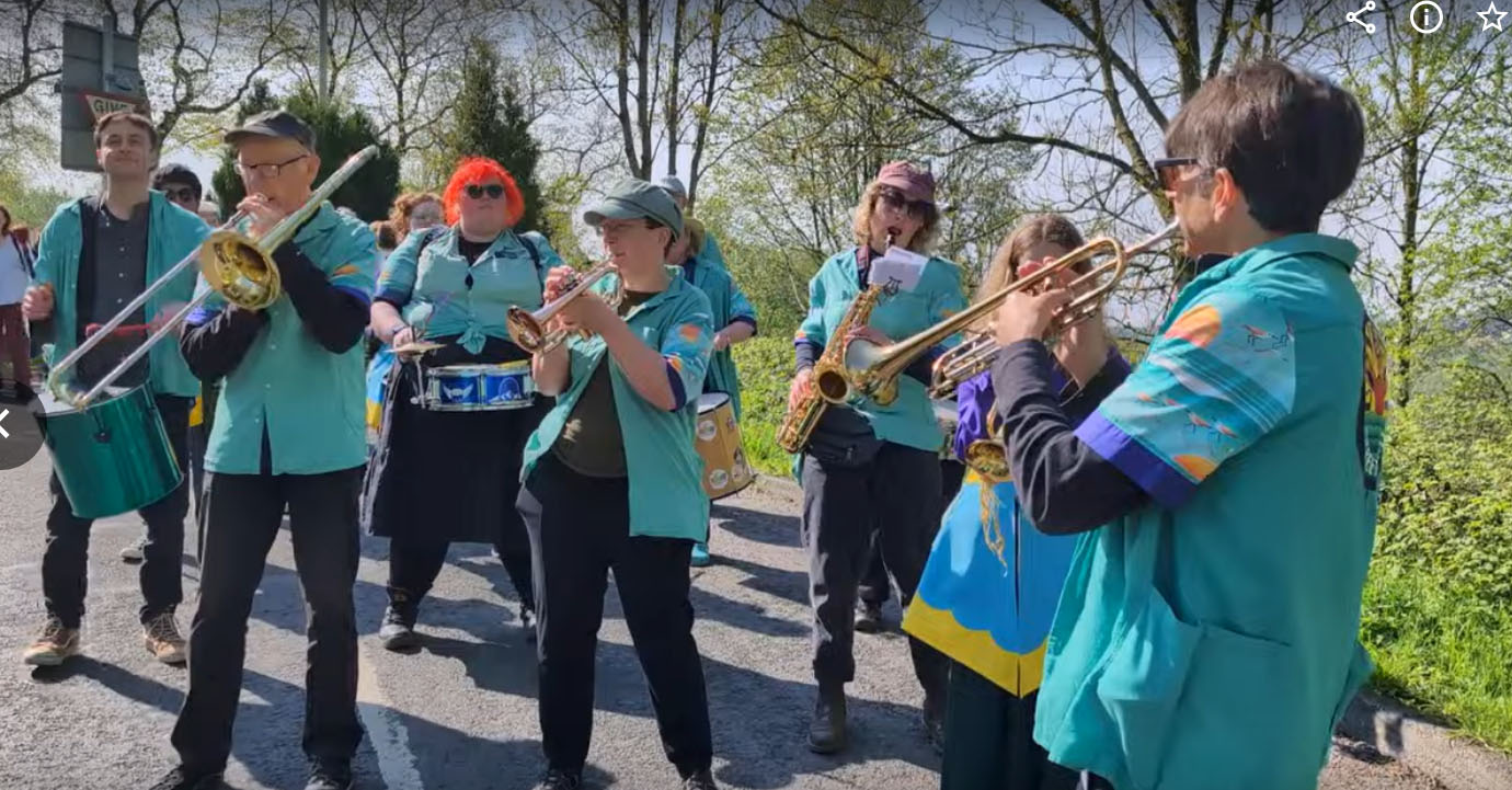
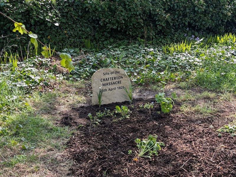



Click the links to see brief videos of the commemoration event in Chatterton. Turn the speaker on! Chatterton Band 1 Chatterton Band 2
Photo by Paul Wright

VILLAGE LINK
To view the Village Link website and its walks, click the Village Link logo.

PILGRIMS' WAY
Follow the route of the Pilgrims  from Whalley to Manchester.
For detailed information on this walk click
Pilgrims' Way
or click the picture.
Walk Reports
Wednesday 23rd September 2026
10th Anniversary of the West Pennine Way, Jumbles, Turton Tower, Cheetham Close.
WE CREATED THE WEST PENNINE WAY WITH A LINK TO THE PENNINE WAY
Five members of our walking group walked the Pennine Way in 17 stages between August 2009 and September 2010. On route we noticed link routes joining the way which gave us the idea of a link to the West Pennine Moors, then thought, why not a circular route around the West Pennine Moors!
It took five years finding a suitable link route and a circular rural route which went close to all the urban areas around the West Pennine Moors. The most difficult stretch was finding a rural route between Darwen Tower and Clough Head. We came to the conclusion that this was why a circular route had never been made. Unfortunately, this is still the most difficult route to walk, because of this a few years ago we made an alternative route just before Longshoot Farm to Clough Head Café.
Today’s walk only covered a short section of the WPW, starting at Jumbles Country Park, we headed along the side of the reservoir to the concrete bridge, which we crossed, and made our way up to Chapeltown Road. Once across the road we followed the WPW to Turton Tower and stopped at the railway bridge, which was the spot where we celebrated the opening of the WPW ten years ago.
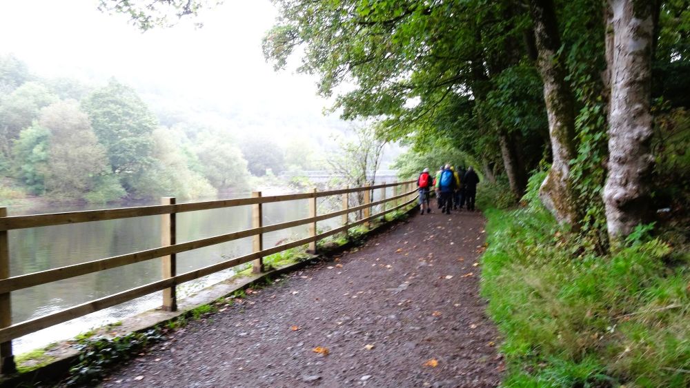
Jumbles Reservoir
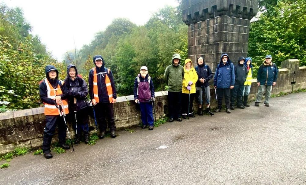
Turton Tower bridge
Continuing along the route we headed up to Cheetham Close, where we stopped to admire the view before making our way down the hill. Part way down we left the route of the WPW and headed down to Cox Green Road, in Egerton. After turning left, we walked along the road to the driveway, leading to Whittle Hill Farm. At the top of the driveway, we turned right and followed a path to Torra Barn.
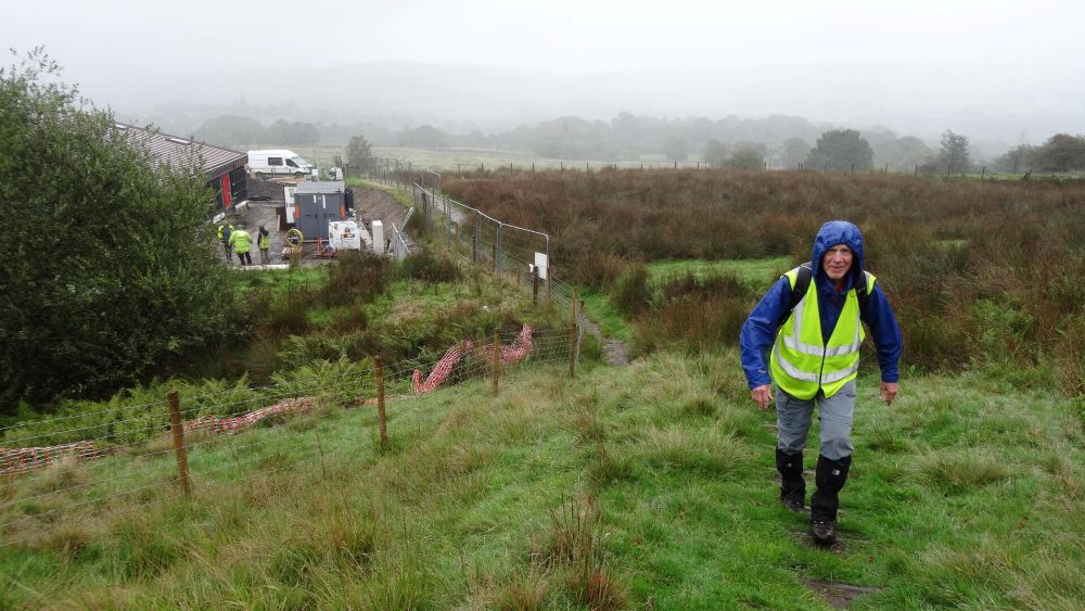
Climbing Cheetham Close
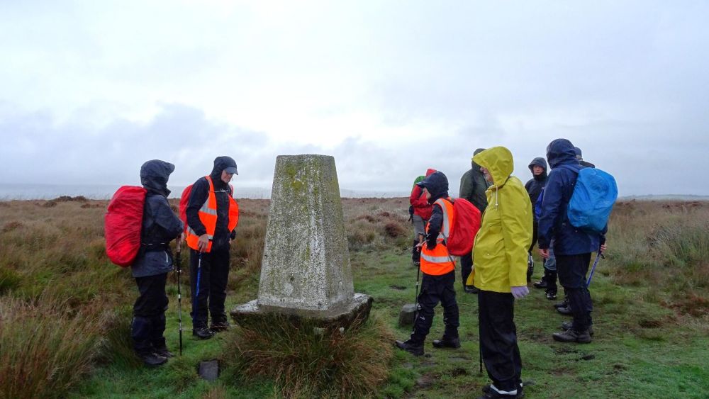
The Trig Point at the summit
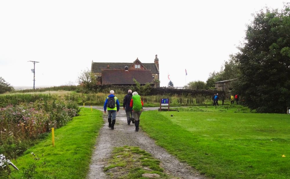
Torra Barn
From the barn we joined a path, on our right that took us over fairways of Turton Golf Club, and through a very picturesque wood, before going under the railway line, and back to Chapeltown Road.
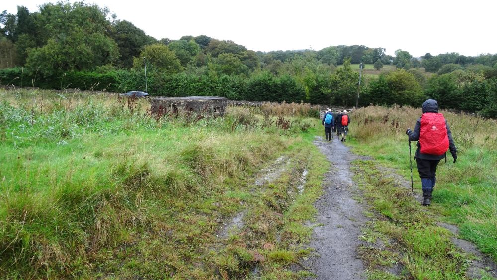
Heading for the woods
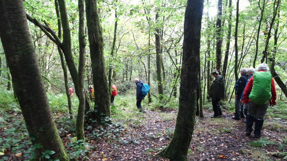
In the wood
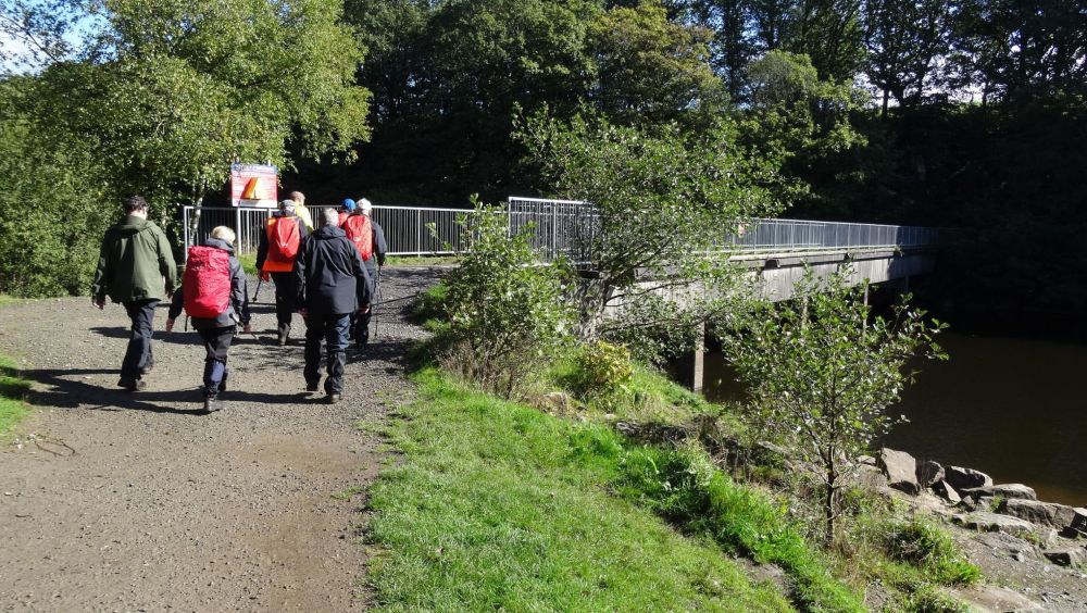
Back to Jumbles
Once across the road we turned right into Horrobin Lane and headed back to Jumbles Reservoir, where we celebrated the anniversary with tea and cakes in the café.
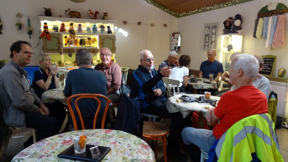
The celebration.
Wednesday 16th September 2026
6th of 9 sections of the West Pennine Way, Roddlesworth to Bull Hill.
On a very wet and misty morning eleven hardy walkers met at Roddlesworth Information Centre and Café, which was not open, perhaps as well as we may have spent the day in the café. Following the orange way markers, we started the steep climb up to Darwen Tower. Darwen Tower, also known as Jubilee Tower, was built in 1898 to commemorate Queen Victoria's Diamond Jubilee and to celebrate the local community's victory in securing public access to the surrounding moors.
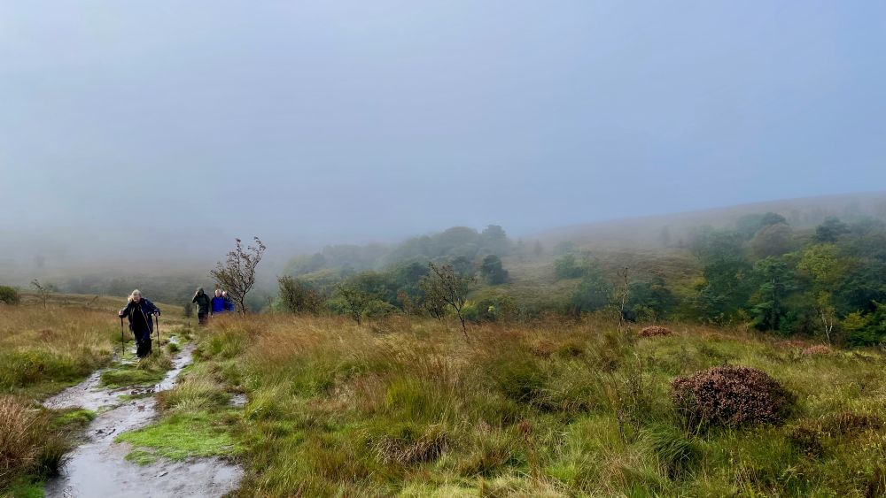
Climbing through the mist onto the moors
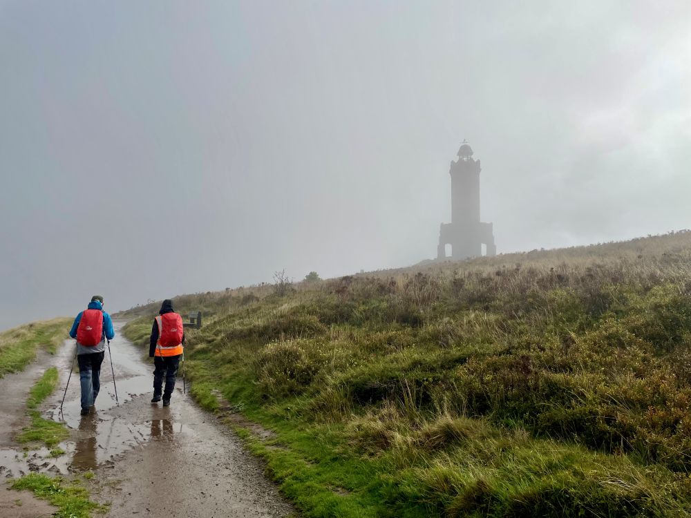
First view of the tower
As we could only see a distance of a few meters, we felt it pointless to climb the steep steps of the tower, but instead we continued along the very wet footpath behind the tower. We soon started our descent across the wet moor, before reaching Prospect Farm we sheltered in a small wood top shelter from the rain and enjoyed our morning coffee. Once in the farmyard we made the collective decision to go down the farm track to the A666, by passing Bull Hill Farm, with its threating notices, to walkers. After turning right on the footpath, alongside the A666 we completed this section of the West Pennine Way, to be resumed on Wednesday 21st October.
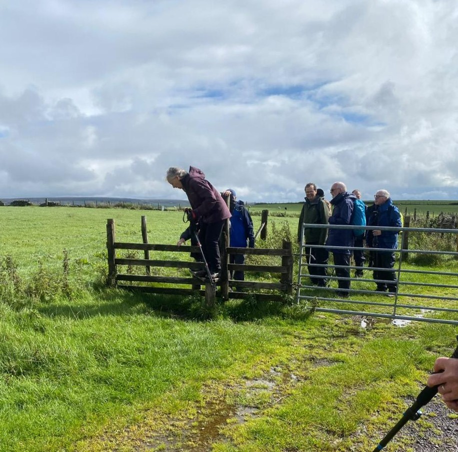
One of many stiles
After turning right, we walked for a short distance along the footpath, to a gate on our right, which we went through to join a section of the Witton Weavers Way. By this time the clouds had started to clear so we made use of the ruins of an old farmhouse to eat our lunch.
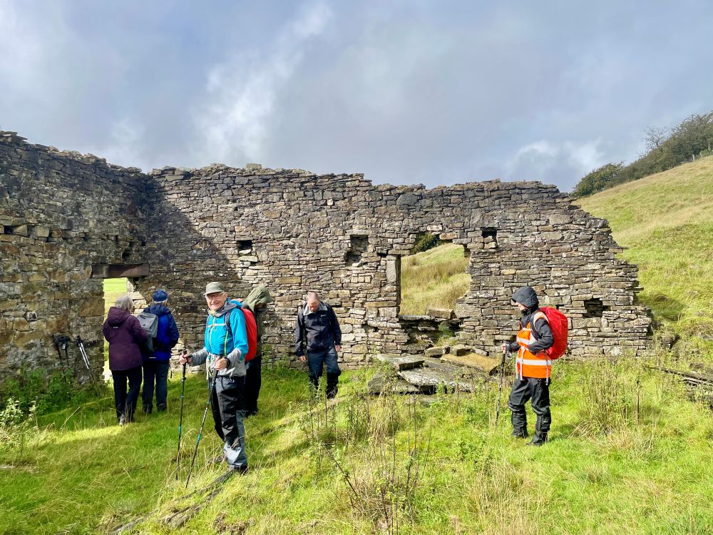
Lunch stop
Once refreshed we started the steady climb back onto the moors, where our views were better, as the mist had cleared, but the footpaths were more like streams as the water descended from the moors.
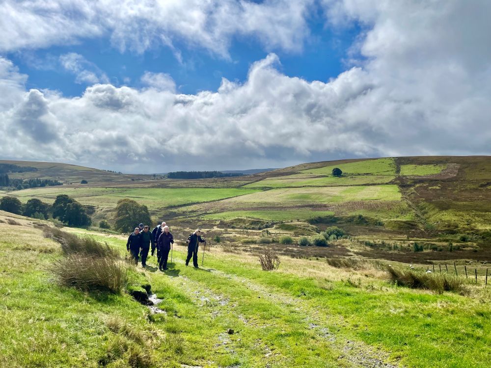
Sunshine at last
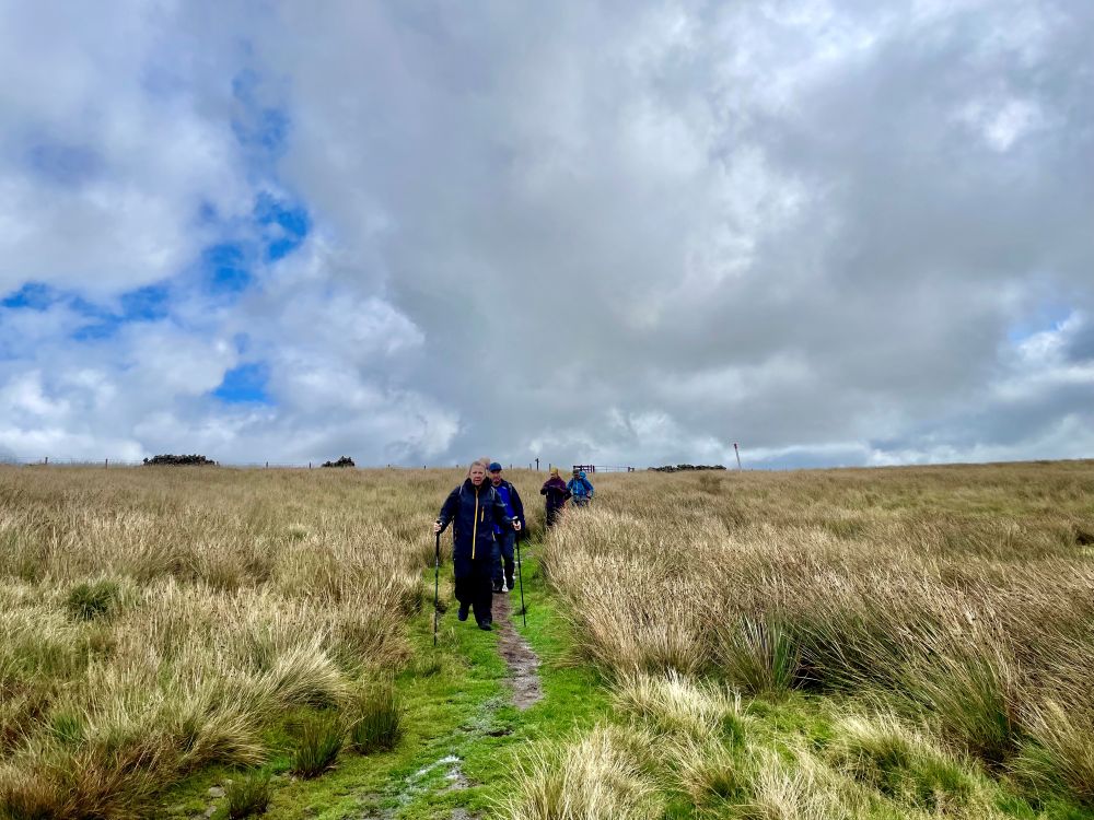
River walking
At the top of the climb once again we made a joint decision, this time not to attempt to go over Cartridge Hill as we had had enough mud for one day. Instead, we continued along the track down to Tockholes Road, which we crossed into Thorny Bank Plantation and joined a footpath leading to Hollinshead Hall, the hall was built in 1776 by John Hollinshead.
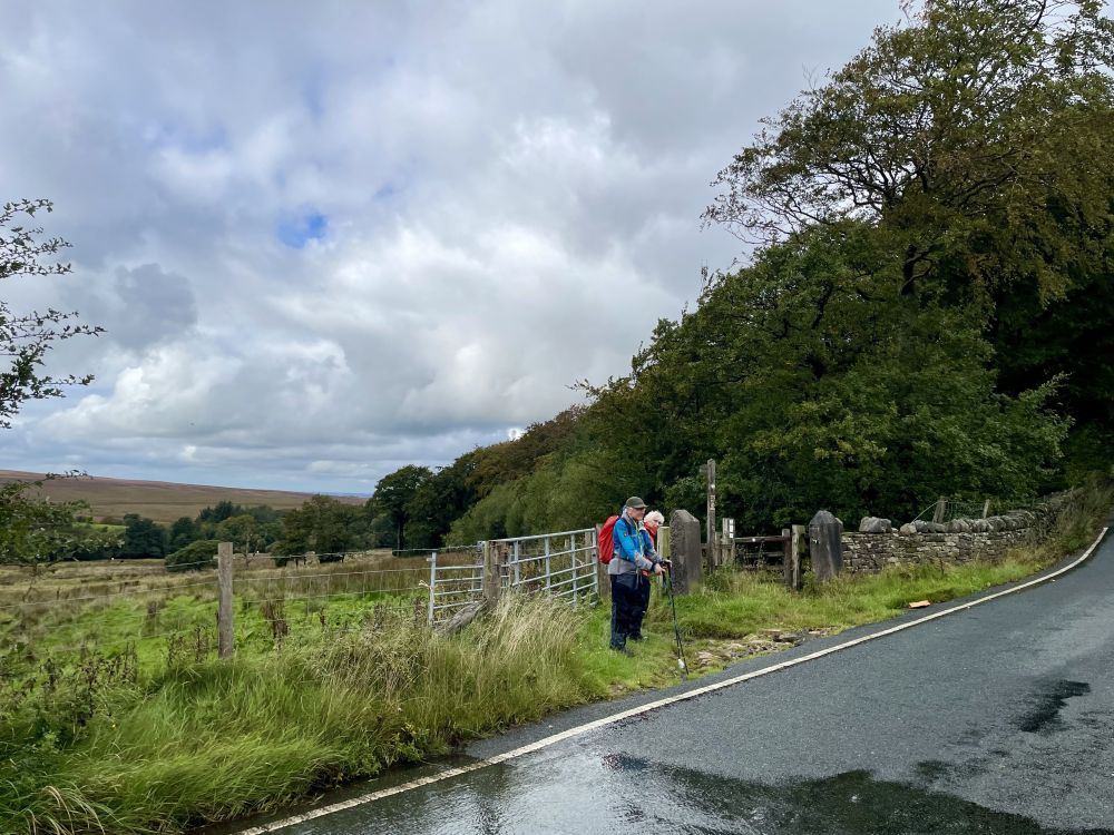
Thorny Bank Plantation
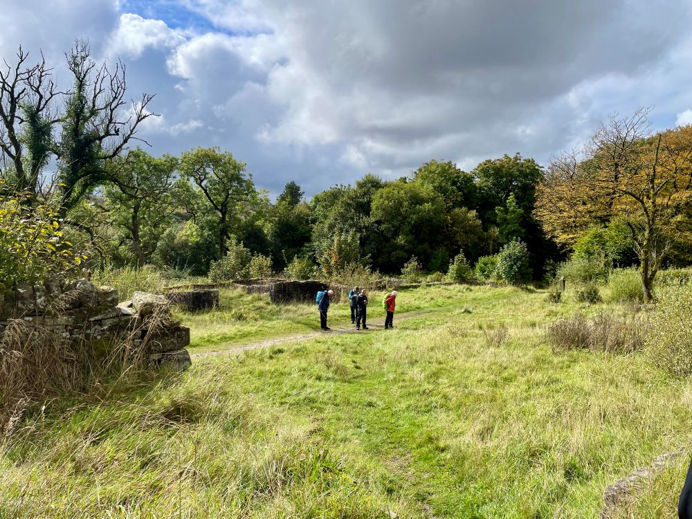
Hollinshead Hall
From the ruins it was a short walk through Tockholes Plantation, back to Roddlesworth, having covered a wet and misty but rewarding eleven miles.
Monday 7th September 2026
Greenmount to Village Link from Nangreaves to Nuttall Park.
On an autumnal feeling day, twenty one walkers left Greenmount and headed through Summerseat, past Bast House and up to Bury Old Road, Nangreaves where we had completed the first section of the Village Link.
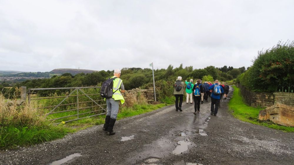
Re joining the Village Link Route
After turning left on the old road, we made our way to Grant’s Tower, where we stopped for our morning coffee break. The tower was built in remembrance of the parents of the Grant family, who established a calico printing business in the area. The tower, which was built in 1827, stands on the spot where the Grant family first viewed the Irwell Valley in 1783, having arrived from Morayshire, Scotland. Due to a lack of maintenance, the tower collapsed in 1944.
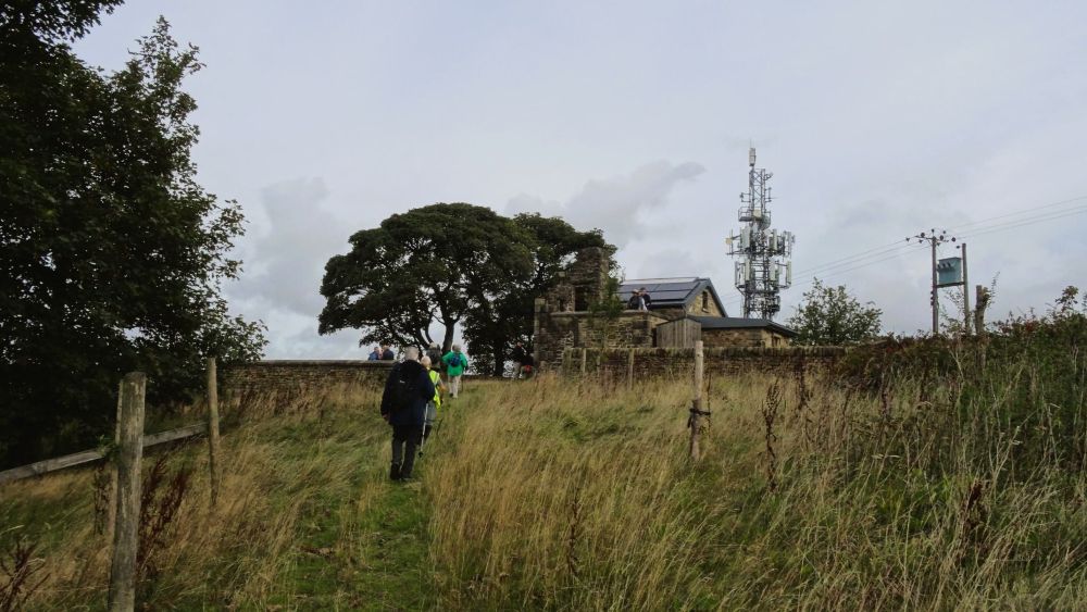
Grant's Tower
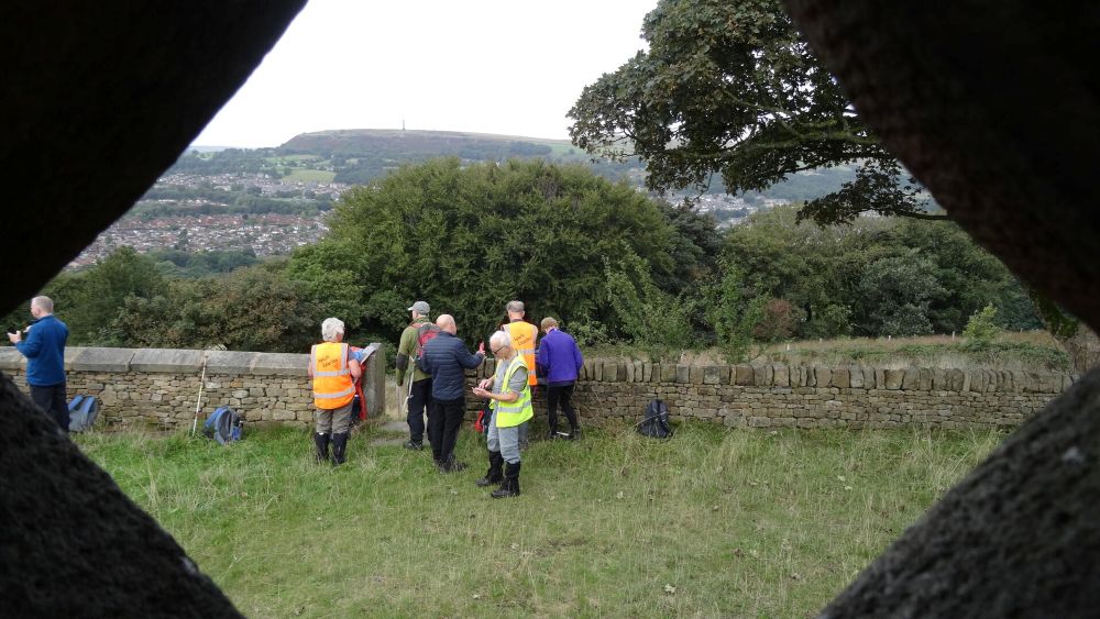
View from the tower
Continuing along the Link Route we headed down to Park Farm and once across the busy main road we walked through the fields to the top of Jacob’s Ladder, which we descended into Nuttall, which was once a thriving village with several mills.
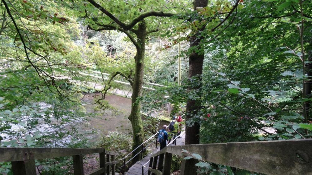
Jacob's Ladder
After joining a narrow path, that followed the River Irwell, we crossed over the river to the site where United Utilities had just completed the development of a large underground water storage tank.
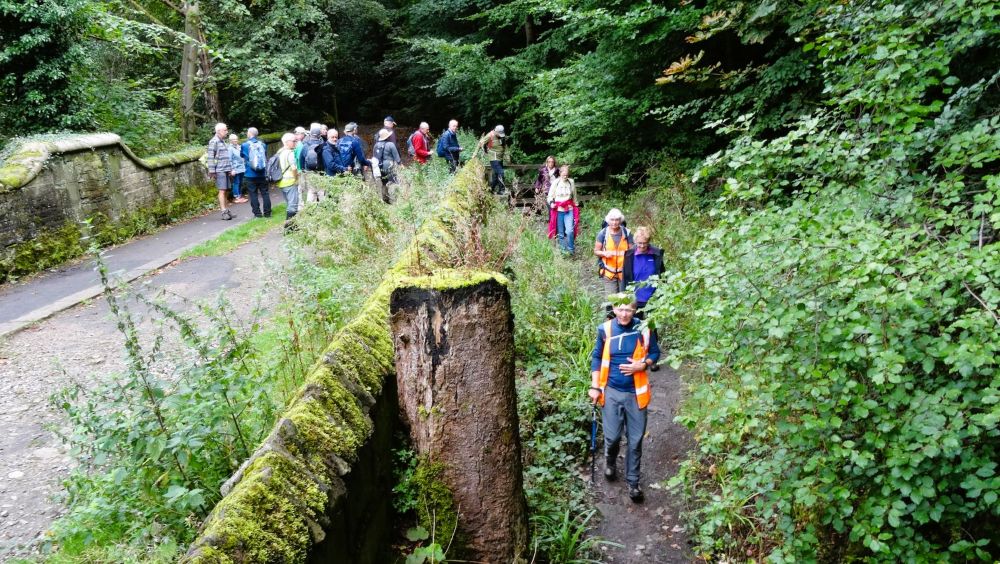
Heading for the River Irwell
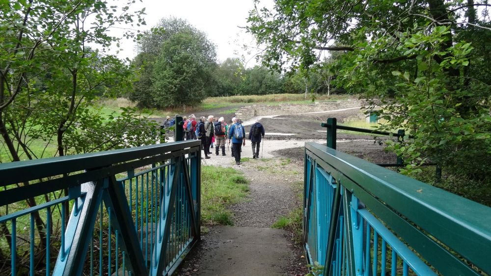
Site of underground tank
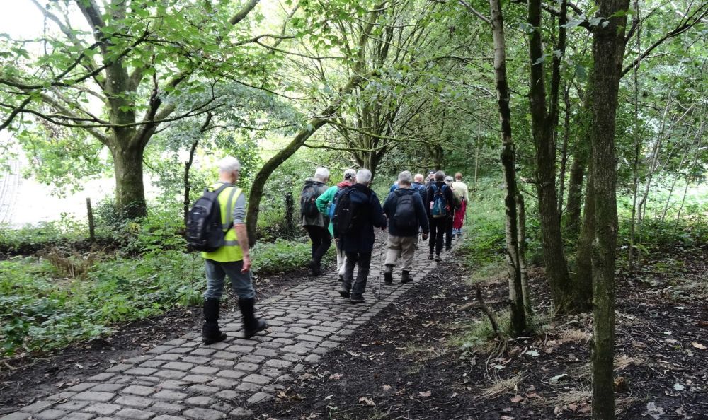
The way back to Summerseat
From here it was just a short walk back into Summerseat and on to Greenmount by which time we had covered six historic miles.